|
Unit 1 -- The Need to Classify Land Use and Land Cover
"Land use describes how a parcel of land is used (such as for agriculture, residences, or industry), whereas land cover describes the materials (such as vegetation, rocks, or buildings) that are present on the surface."
Summary of Chapters in This Part
Chapter 12
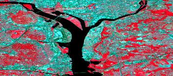
In this chapter, we learn the difference between land use and land cover and the different ways used to view and classify areas. Remote sensing methods and multilevel classification systems are becoming very popular ways to map land use and land cover. Remote sensing methods such as Landsat, Spot images, and aerial photographs are all used as a way to interpret land use and cover, as well as radar images. They are images of a world-wide view all the way to images of small local areas.
Images are also used to try and predict changes in land use. AVHRR images are used for land cover images of vegetation. Geographic information systems are also used with other resources to create specialized maps that can be used for a wide variety of classification on land cover and land use.
Useful Outside Links, Readings, etc.
A thorough explanation of the Geographic Information Systems: what it is, how it works, why it is important, etc..
The Landsat 7 Project: a collection of Landsat images, project photos, and online works about Landsat
A broad overview of the U.S. Geological Survey: The U.S. Geological Survey home page
An application of SPOT images and the types of products and their advantages in being able to give an image of areas for their presence of agriculture, forestry, land use and cover, oil exploration, etc...
An example of how AVHRR images look and a brief history of AVHRR images and its importance in today's technology
|
|